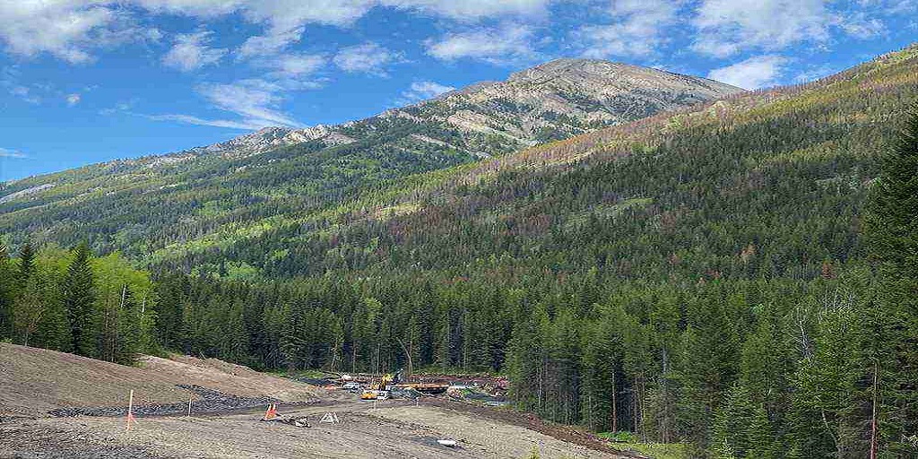
When passing by a roadwork site, it’s common to see workers in safety gear and heavy machinery, but you may also notice individuals using high-tech instruments, such as tripods, GPS receivers, and total stations. These professionals are land surveyors, and their work is crucial in ensuring that road construction projects are completed safely, efficiently, and accurately. But what exactly are these surveyors doing at roadworks sites?
Laying the Groundwork Before Construction
Before any construction begins, surveyors play a pivotal role in the planning and design phase of a road project. They assess the terrain, identify potential obstacles, and provide essential data that helps engineers design a safe and efficient roadway. Using advanced tools such as GPS technology and 3D laser scanners, they collect data about the land’s elevation, contours, and existing features. This information forms the foundation upon which engineers make critical decisions regarding grading, drainage, and overall road alignment.
Accurate data collected by surveyors ensures that the road design meets the required specifications and minimizes the risk of costly adjustments during construction. This phase is where expert land surveying services prove to be invaluable, ensuring that all measurements and boundaries are precise, reducing the likelihood of errors and delays.
Ensuring Proper Alignment and Grading
Once construction is underway, surveyors continue to play an active role in guiding the project to completion. One of their primary tasks is ensuring that the road is built according to the approved design. By using total stations and GPS receivers, surveyors establish control points and benchmarks that guide contractors in placing pavement, curbs, and drainage systems accurately.
Proper alignment and grading are essential to prevent drainage issues and ensure the longevity of the road. Surveyors carefully monitor the elevation and slope of the roadway, ensuring that water runoff is directed away from the pavement, which helps prevent erosion and structural damage. Without expert land surveying services, achieving such precision would be nearly impossible, potentially leading to costly rework or safety hazards.
Monitoring Progress and Quality Control
Surveyors do not just disappear once the groundwork is complete. Throughout the duration of a roadworks project, they conduct routine checks to ensure that the work is progressing according to the design specifications. By comparing the actual construction progress with the initial plans, they can identify discrepancies and address them promptly. This ongoing quality control helps maintain project timelines and reduces the risk of errors that could compromise the integrity of the roadway.
In addition to monitoring the physical aspects of the project, surveyors also ensure that all legal boundaries are respected. Encroaching on private property or violating municipal regulations can lead to legal challenges and project delays. By maintaining strict adherence to boundary lines, surveyors help keep projects compliant and within legal limits.
Assisting with Utility Mapping and Relocation
Road construction often requires relocating or avoiding existing underground utilities such as water pipes, gas lines, and electrical cables. Surveyors use specialized equipment to create detailed utility maps, ensuring that construction crews are aware of any potential hazards beneath the surface. This process helps prevent damage to essential infrastructure and reduces the risk of costly delays caused by accidental utility strikes.
As the project nears completion, surveyors perform final inspections to verify that the road has been built according to the original plans and meets all necessary safety standards. They conduct as-built surveys, which document the actual dimensions and features of the finished roadway. This information is critical for future maintenance and any potential modifications or expansions.
For more information about Real Property Reports Regina and Real Property Reports Saskatoon Please visit: CORE Geomatics.